 Cubbie Points
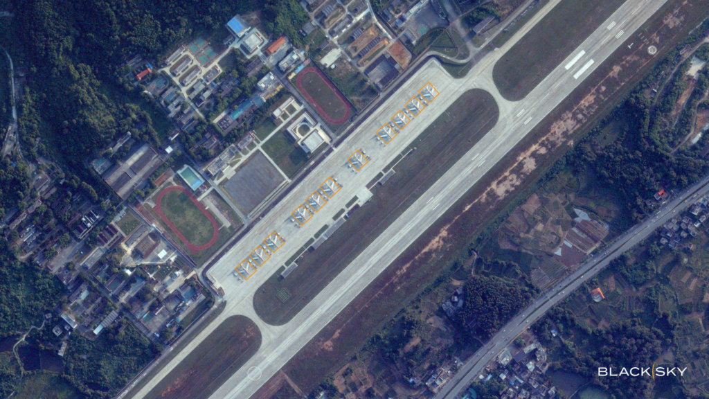

BlackSky
Geospatial Intelligence
Geospatial intelligence platform providing real-time satellite imagery and analytics for enterprise and defense customers.
Threat Intelligence PlatformsReal-Time Analytics
Geospatial Intelligence
Geospatial intelligence platform providing real-time satellite imagery and analytics for enterprise and defense customers.
Geospatial Intelligence
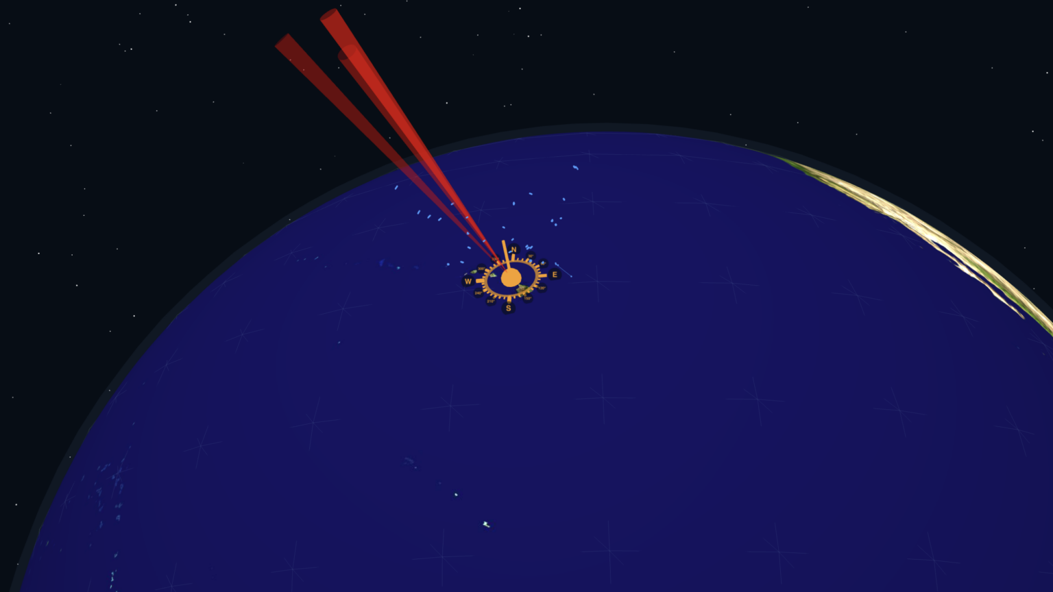
Space situational awareness platform using phased-array radars to track objects in low Earth orbit.

Geospatial Intelligence
Mobility intelligence platform using AI and behavioral data for transportation and urban planning.
Geospatial Intelligence
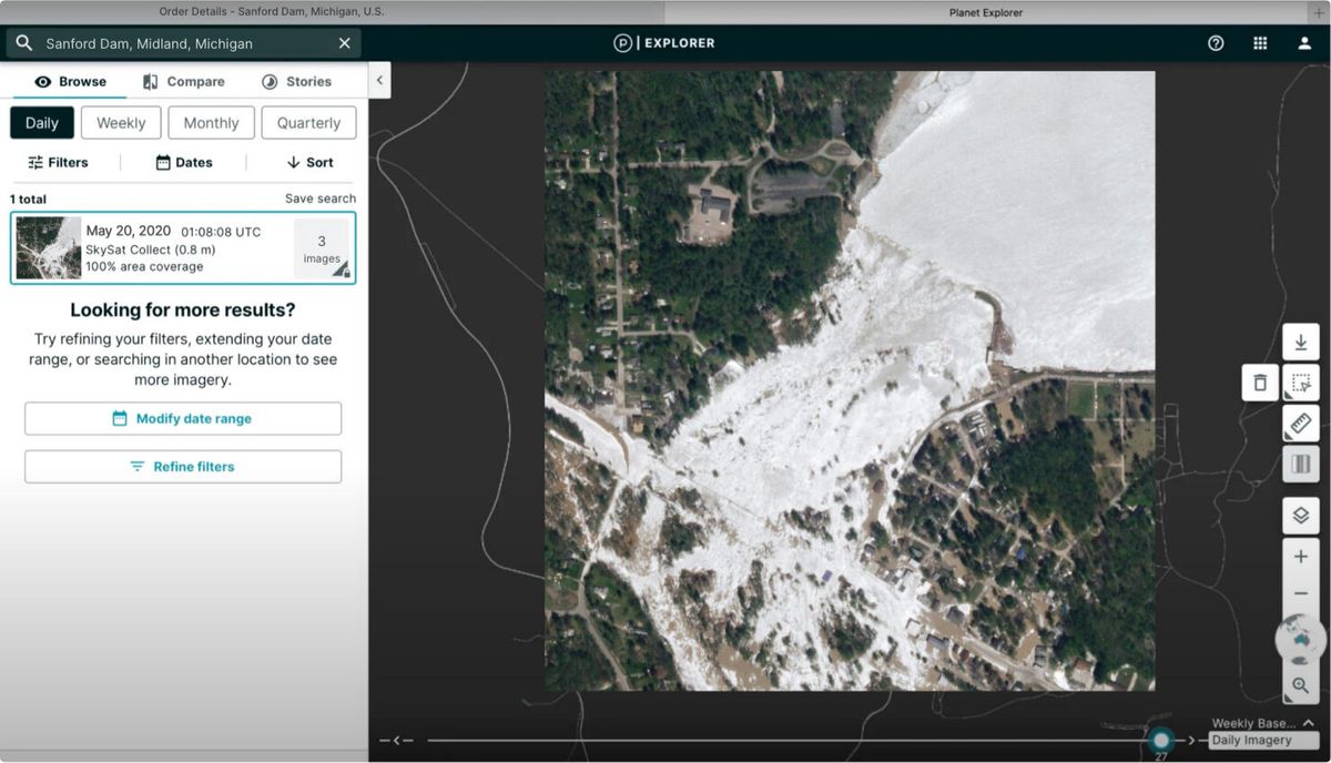
Earth observation company using AI to analyze daily satellite imagery of the entire globe for agriculture, forestry, and climate monitoring.
PriceUsage-based

Geospatial Intelligence
Space technology company with AI-powered satellite imagery analytics for defense, intelligence, and commercial geospatial applications.
Geospatial Intelligence
AI-powered aerial imagery and geospatial analytics platform used by insurers for property assessment and change detection.
Geospatial Intelligence
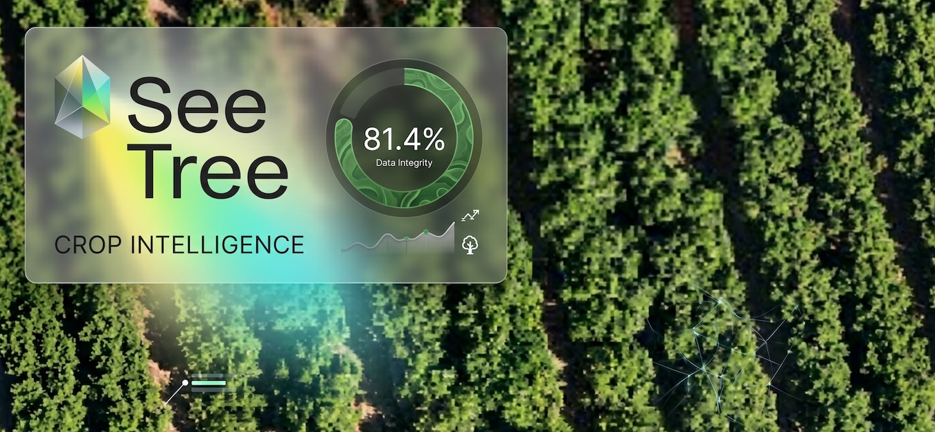
Tree-by-tree intelligence platform for permanent crops that uses drone imagery and AI to track health, yield, and productivity of individual trees in orchards.

Geospatial Intelligence
No-code platform for Earth observation and geospatial analytics with AI-powered insights.
Geospatial Intelligence
Geospatial analytics platform using computer vision on satellite imagery for supply chain and economic intelligence.

Geospatial Intelligence
Geospatial intelligence platform for agricultural monitoring with satellite imagery and environmental compliance.