What is the future of software?Take Survey

Alternatives to VertiGIS

10 alternatives

  1. 1Geospatial Software

    IQGeo

    Field Service Management

    Geospatial network management software for telecom, fiber, and utility operators.

    Mobile first field operations with offline capabilityDigital twin and network asset inventory managementEnd to end network lifecycle integration
  2. 2Geospatial Software

    GeoVisual

    Geospatial Software

    Geospatial AI platform providing predictive crop analytics for agricultural enterprises.

  3. 3Geospatial Software

    Spacenet

    Geospatial Software

    Geospatial AI research community providing labeled satellite datasets for machine learning.

    Satellite imagery datasets with precision labelsAlgorithm repository and open source toolsMulti modal satellite data integration
  4. 4Geospatial Software, Location Intelligence Platforms

    Foursquare

    Location Intelligence Platforms

    Location technology platform providing geospatial data, developer tools, and location-based analytics.

    Spatial analytics and visualizationGeofencing and proximity marketingMovement sdk for location aware apps

    Price$15+ / month

  5. 5Geospatial Software

    Kepler.gl

    Geospatial Software

    Open-source geospatial analysis tool by Uber for large-scale geographic data visualization on web browsers.

    Free planFree trialData Visualization LibrariesData Visualization
  6. 6Geospatial Software

    NextBillion.ai

    Geospatial Software

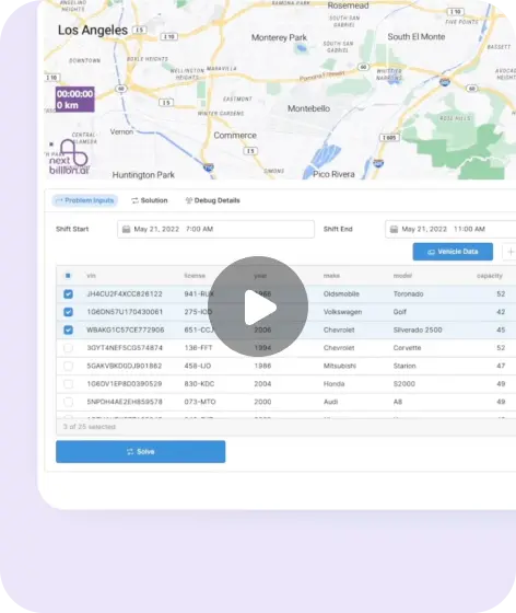
    Geospatial AI platform providing route optimization, distance matrices, and mapping APIs for logistics and delivery.

    Multi vehicle route optimizationReal time traffic aware routingDriver assignment optimization

    PriceUsage-based

  7. 7Geospatial Software

    Earth Blox

    Geospatial Intelligence

    No-code platform for Earth observation and geospatial analytics with AI-powered insights.

    Portfolio level nature and climate risk assessment
  8. 8Geospatial Software

    Ecopia AI

    Computer Vision Platforms

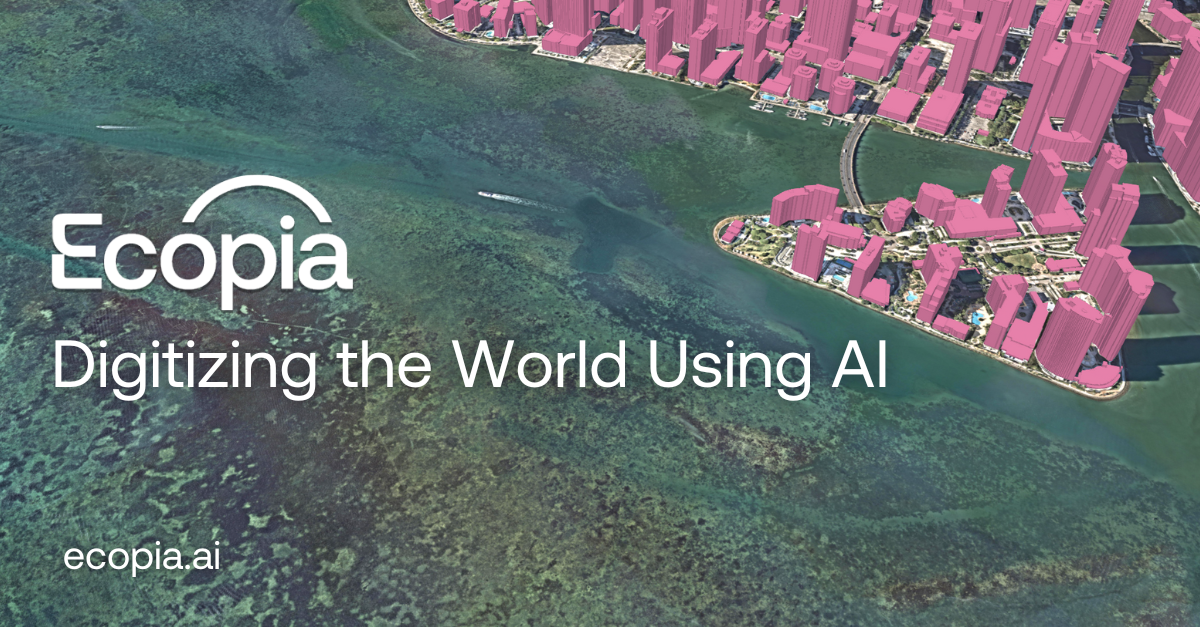
    Geospatial AI platform creating HD vector maps from imagery for infrastructure, insurance, and climate applications.

    Geospatial SoftwareSustainability Management
  9. 9Geospatial Software

    UrbanFootprint

    Decision Intelligence

    Urban intelligence platform providing geospatial analytics for real estate, insurance, and planning.

    Geospatial data integration and normalizationClimate and hazard risk assessmentBuilt environment and infrastructure analysis
  10. 10Geospatial Software

    Deck.gl

    Data Visualization Libraries

    Open-source WebGL-powered framework for visual exploratory data analysis of large geospatial datasets.

    Free planData VisualizationGeospatial Software