

Earth Blox
Geospatial Intelligence
No-code platform for Earth observation and geospatial analytics with AI-powered insights.
Portfolio level nature and climate risk assessment
Geospatial Intelligence
No-code platform for Earth observation and geospatial analytics with AI-powered insights.
Location Intelligence Platforms
Location technology platform providing geospatial data, developer tools, and location-based analytics.
Price$15+ / month
Geospatial Software
Geospatial AI research community providing labeled satellite datasets for machine learning.

Geospatial Software
Open-source geospatial analysis tool by Uber for large-scale geographic data visualization on web browsers.
Decision Intelligence
Urban intelligence platform providing geospatial analytics for real estate, insurance, and planning.
Geospatial Software
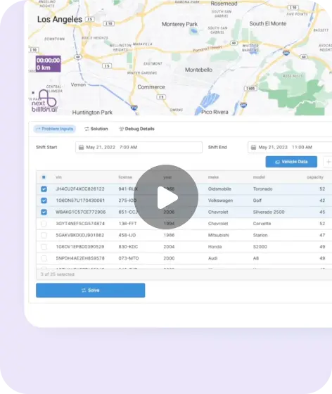
Geospatial AI platform providing route optimization, distance matrices, and mapping APIs for logistics and delivery.
PriceUsage-based
Data Visualization Libraries
Open-source WebGL-powered framework for visual exploratory data analysis of large geospatial datasets.

Computer Vision Platforms
AI-powered geospatial analysis platform that lets users train custom computer vision models on satellite and aerial imagery.
Computer Vision Platforms
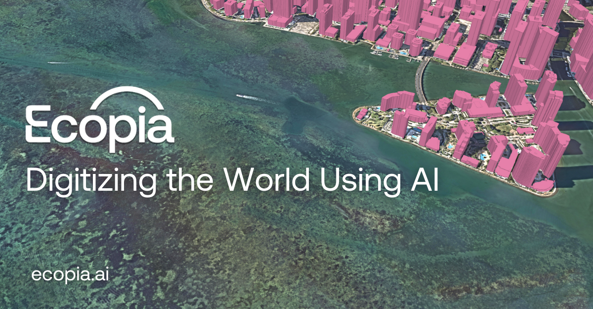
Geospatial AI platform creating HD vector maps from imagery for infrastructure, insurance, and climate applications.

Field Service Management
Geospatial network management software for telecom, fiber, and utility operators.


