 Cubbie Points

Maptitude by Caliper
GIS Software
Caliper Corporation develops state-of-the-art Geographic Information Systems (GIS) software, including Maptitude, a mapping software for business development.
Free trialGeolocation and Mapping
Price$795 one-time
Future of SoftwareStart Survey
GIS Software
Caliper Corporation develops state-of-the-art Geographic Information Systems (GIS) software, including Maptitude, a mapping software for business development.
Price$795 one-time
GIS Software
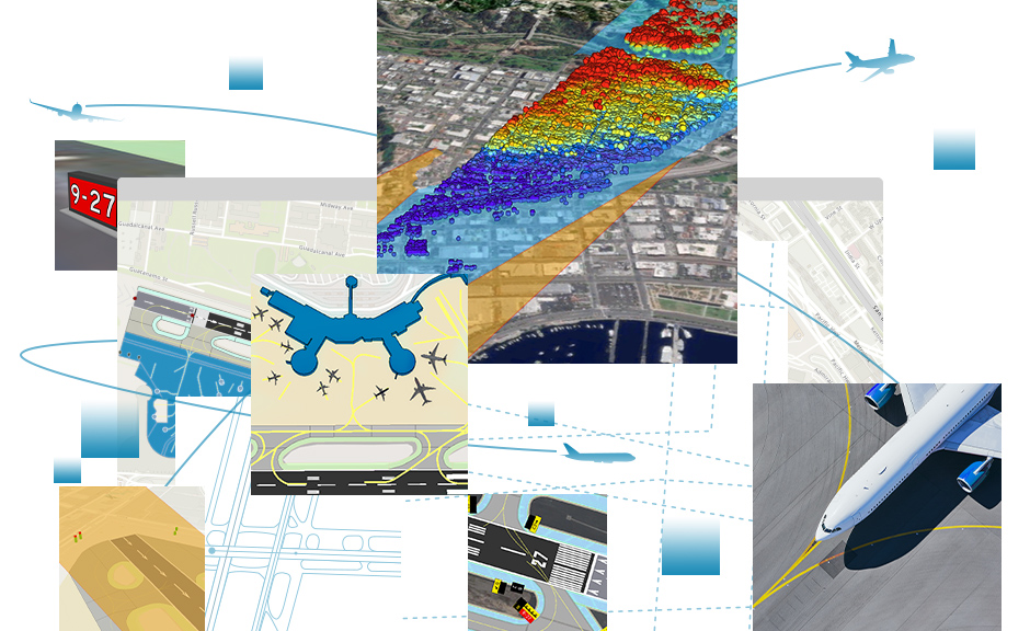
GIS platform for mapping, spatial analysis, and location intelligence across industries and government.
Price$8.33+ / month
GIS Software
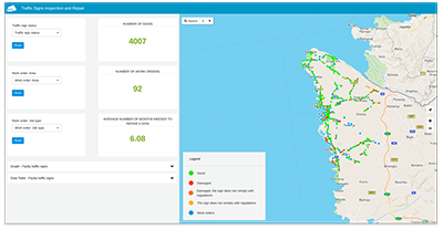
Cloud GIS platform for mapping, data collection, and analysis used by governments.
Price$12+ / seat / month
GIS Software
Geographic data analytics platform for policy research, lending, and community development.

GIS Software
Esri-partner GIS solutions for oil and gas including Exploration Analyst, Team-GIS Portal, and Unconventionals Analyst.
GIS Software
BIM issue management and coordination platform for tracking design conflicts and RFIs directly within 3D models.
GIS Software
Phishing simulation and training platform for MSPs delivering client awareness programs.

GIS Software
IT management platform for MSPs and internal IT teams with RMM, PSA, and security.
GIS Software
Cloud-based manufacturing execution system providing real-time production monitoring, operator instructions, and quality inspections.
GIS Software
Public safety records, CAD, and EMS software for small and mid-size agencies across the US and Caribbean.


