

Maxar AI
Geospatial Intelligence
Space technology company with AI-powered satellite imagery analytics for defense, intelligence, and commercial geospatial applications.
AI GuardrailsLocation Intelligence Platforms
Geospatial Intelligence
Space technology company with AI-powered satellite imagery analytics for defense, intelligence, and commercial geospatial applications.
Geospatial Intelligence
AI-powered aerial imagery and geospatial analytics platform used by insurers for property assessment and change detection.
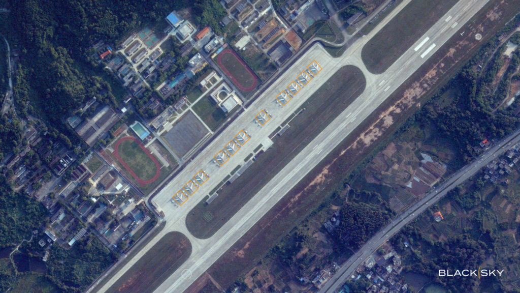
Geospatial Intelligence
Geospatial intelligence platform providing real-time satellite imagery and analytics for enterprise and defense customers.
Geospatial Intelligence
Geospatial analytics platform using computer vision on satellite imagery for supply chain and economic intelligence.
Location Intelligence Platforms
Location technology platform providing geospatial data, developer tools, and location-based analytics.
Price$15+ / month

Environmental Data Platforms
Geospatial analytics software powering environmental monitoring and climate-resilience projects for governments.
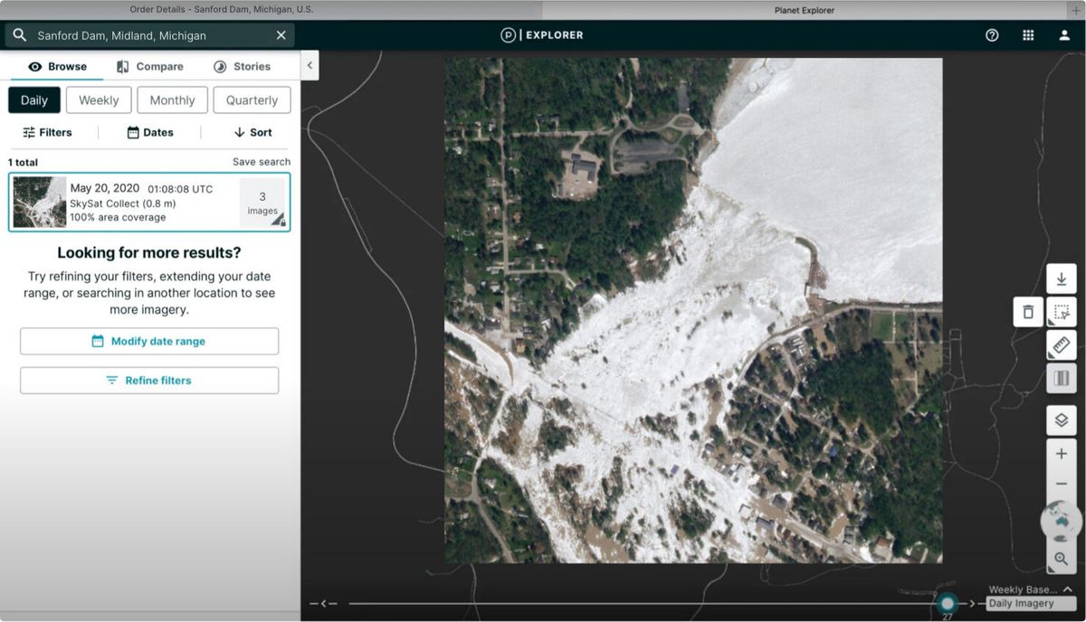
Geospatial Intelligence
Earth observation company using AI to analyze daily satellite imagery of the entire globe for agriculture, forestry, and climate monitoring.
PriceUsage-based
Spatial Analytics
Planetary-scale geospatial analytics, satellite imagery AI, and spatial compute using SQL and Python.
Price$95+ / month
Geospatial Intelligence
Geospatial intelligence platform for agricultural monitoring with satellite imagery and environmental compliance.
Geospatial Software
Geospatial AI platform providing predictive crop analytics for agricultural enterprises.


